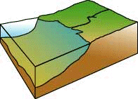
 The coastal landform has been shaped by the advance and retreat of massive glaciers, which covered the southern New England landscape as recently as 20,000 years ago. Glaciers carved the many
 SOUTHERN NEW ENGLAND COASTAL WATERSHEDS
 The coastal landform has been shaped by the advance and retreat of massive glaciers, which covered the southern New England landscape as recently as 20,000 years ago. Glaciers carved the many