|
|
|
||||||||||
[Home] [Overview] [People] [Projects] [Protocols] [Data] [Photos & Maps] [Publications] [Links] |

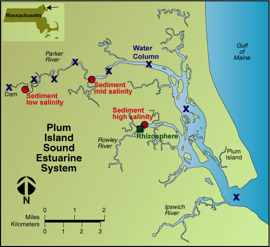 Map
of Plum Island Sound. PIMO sampling sites
are indicated.
Map
of Plum Island Sound. PIMO sampling sites
are indicated.
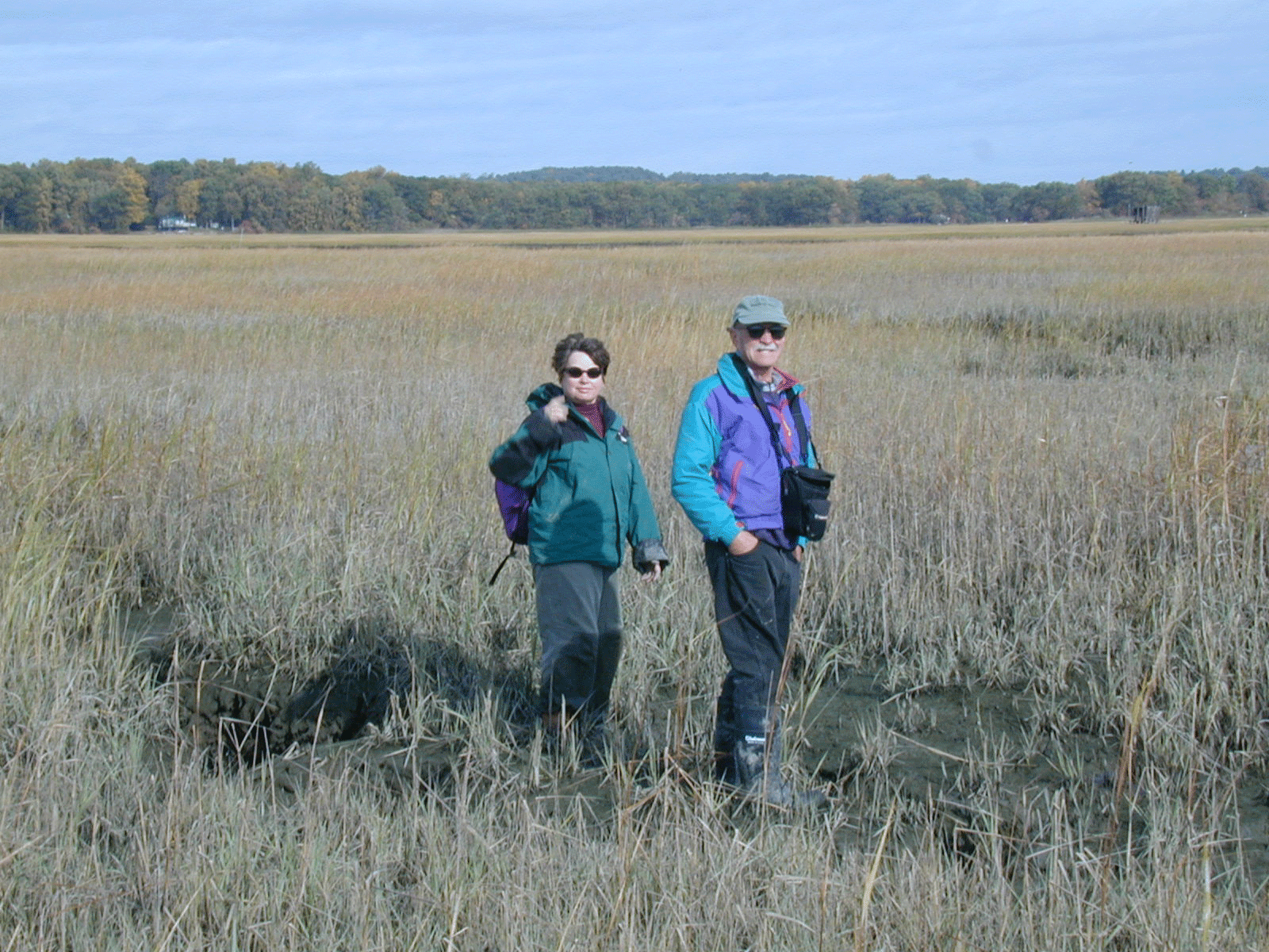 Michele
Bahr and John Hobbie out on the marsh,
surrounded by Spartina
alterniflora.
Michele
Bahr and John Hobbie out on the marsh,
surrounded by Spartina
alterniflora.
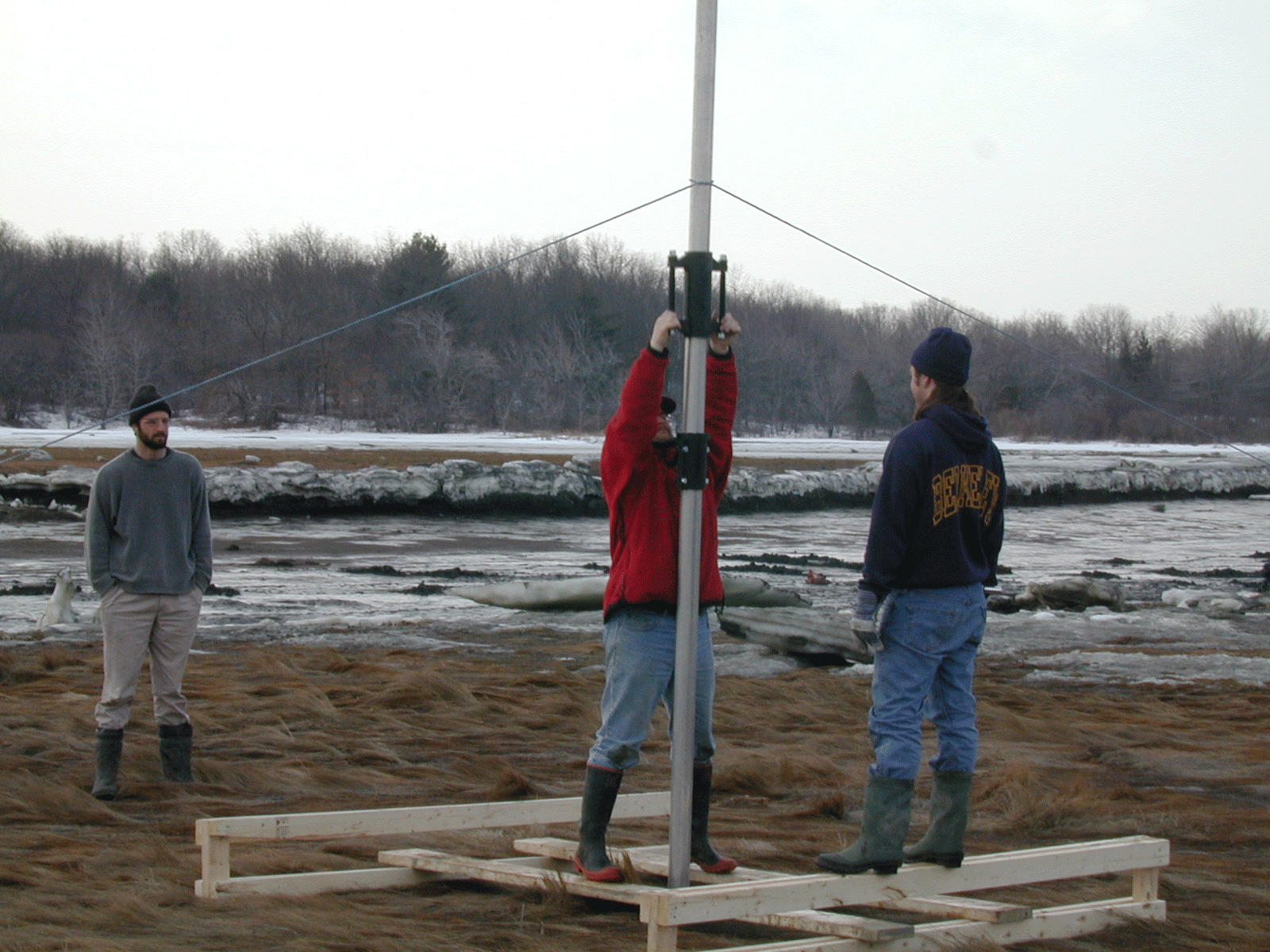 Pete
Raymond, Byron Crump and Nat Weston
installing a Sediment Elevation Tube (SET)
in Spartina patens
marsh.
Pete
Raymond, Byron Crump and Nat Weston
installing a Sediment Elevation Tube (SET)
in Spartina patens
marsh.
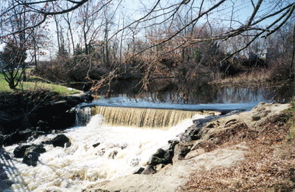
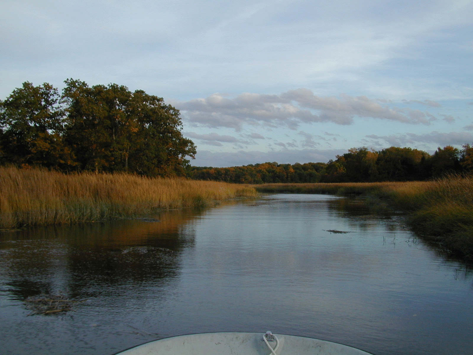 Upper
reach of the Parker River arm of Plum
Island Sound at mid-tide.
Upper
reach of the Parker River arm of Plum
Island Sound at mid-tide.
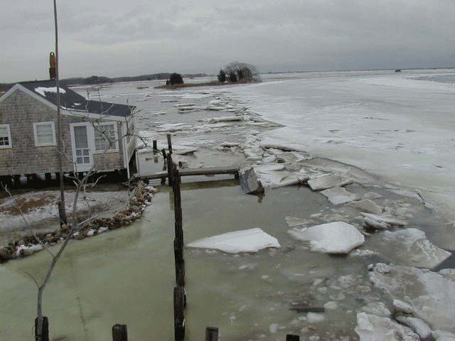 View
of the Rowley River arm of Plum Island
Sound at high tide in January. The channel
is covered with ice, and marshland behind
the field house is flooded.
View
of the Rowley River arm of Plum Island
Sound at high tide in January. The channel
is covered with ice, and marshland behind
the field house is flooded.
 Large
satellite image of Plum Island
Sound.
Large
satellite image of Plum Island
Sound.
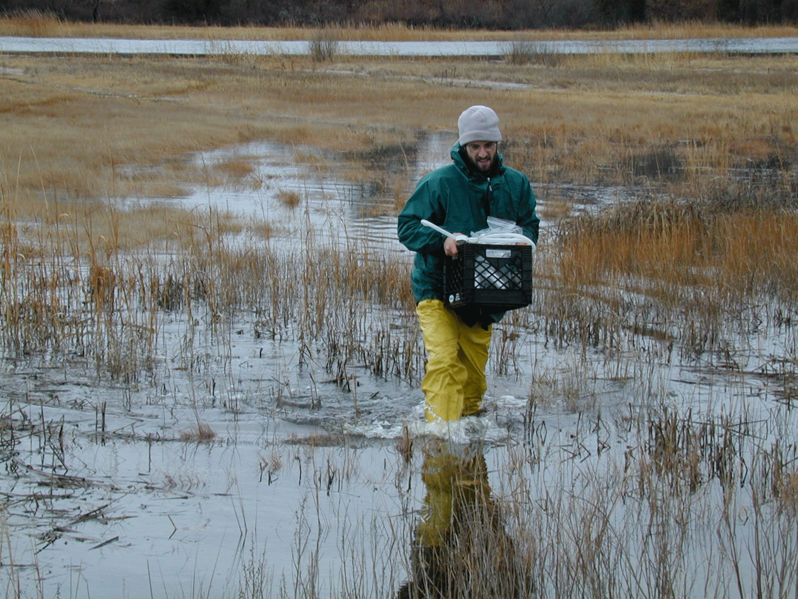 Pete
Raymond slogging across the marsh at high
tide.
Pete
Raymond slogging across the marsh at high
tide.
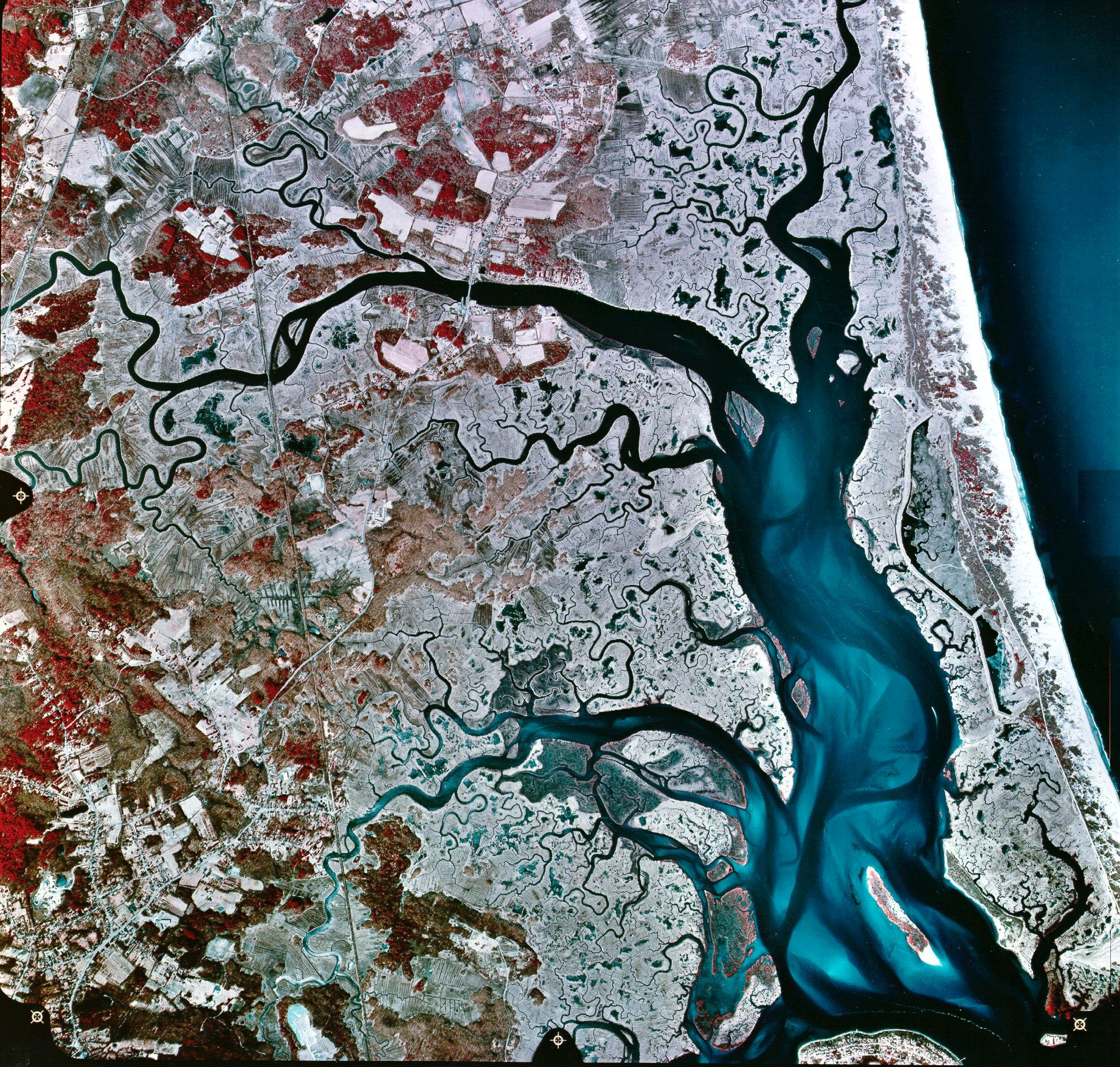
 False
color satellite image of Plum Island
Sound.
False
color satellite image of Plum Island
Sound.
[Home]
[Overview]
[People]
[Projects]
[Protocols]
[Data]
[Photos
& Maps]
[Publications]
[Links]